GIS is a strategic tool for making smarter, more economical decisions about locations and terrain
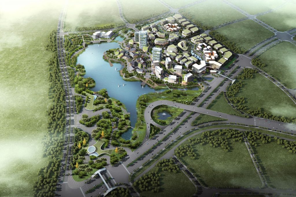
From conservation, to industrial corridor and smart city planning, location centred decisions
are essential for sustainable development. We offer custom GIS solutions for geospatial data capture,
provisioning, mapping, photogrammetric services and more.
Aerial Triangulation
Orthophotography and Mosaic Generation
Digital Terrain Model (DTM) and Digital Elevation Model (DEM) Production
2D and 3D Planimetric Feature Extraction
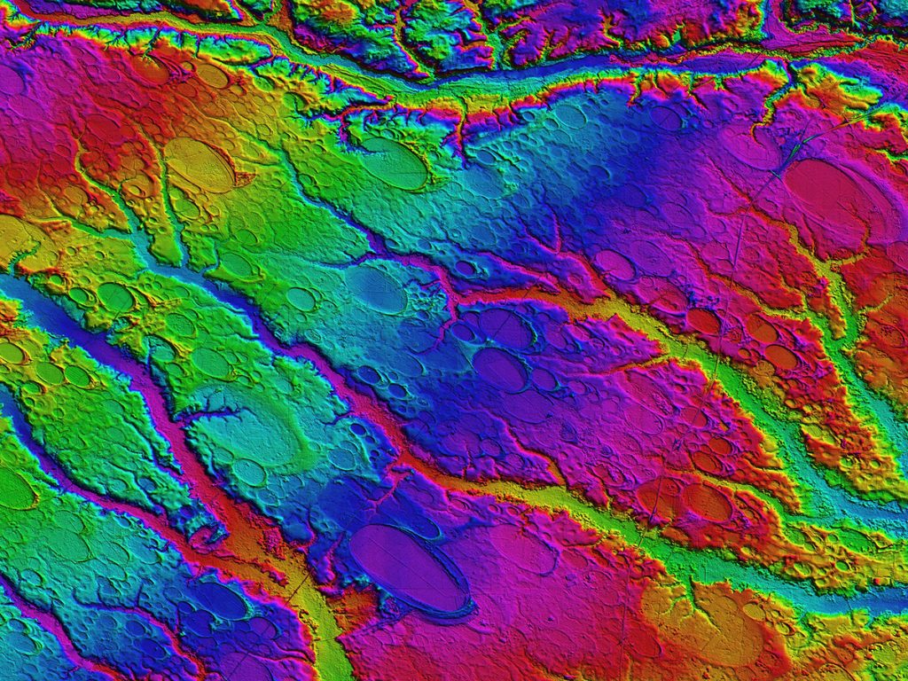
LIDAR Acquisition and Processing

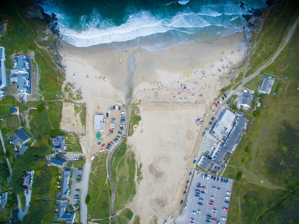
Airport Mapping, Topographic Mapping, Cadastral Mapping
Multi National Geospatial Co-Production
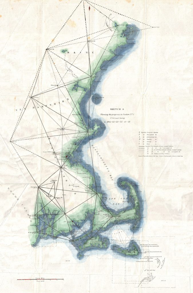
Geodetic and Control surveys
3D Modeling
Solutions across industries

Governments
Geographic information is the key to better decision-making. Governments can use GIS systems for road and utility maintenance, traffic route management, town planning, vegetation, flood mapping and more.
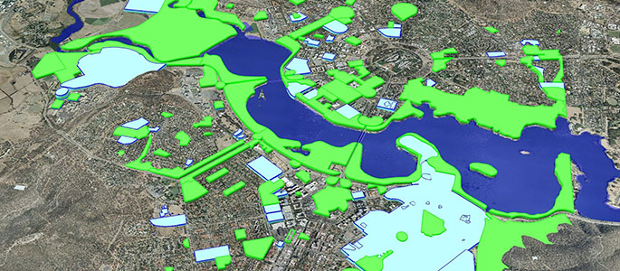
Water
GIS systems have been used to predict and monitor nonpoint source pollution from agricultural areas and urban environments, to monitor flow and pollutants in storm sewer networks, to assist with contingency plans and environmental impact assessments. They can be used to map underwater terrains, and play a huge role in watershed planning and projections.

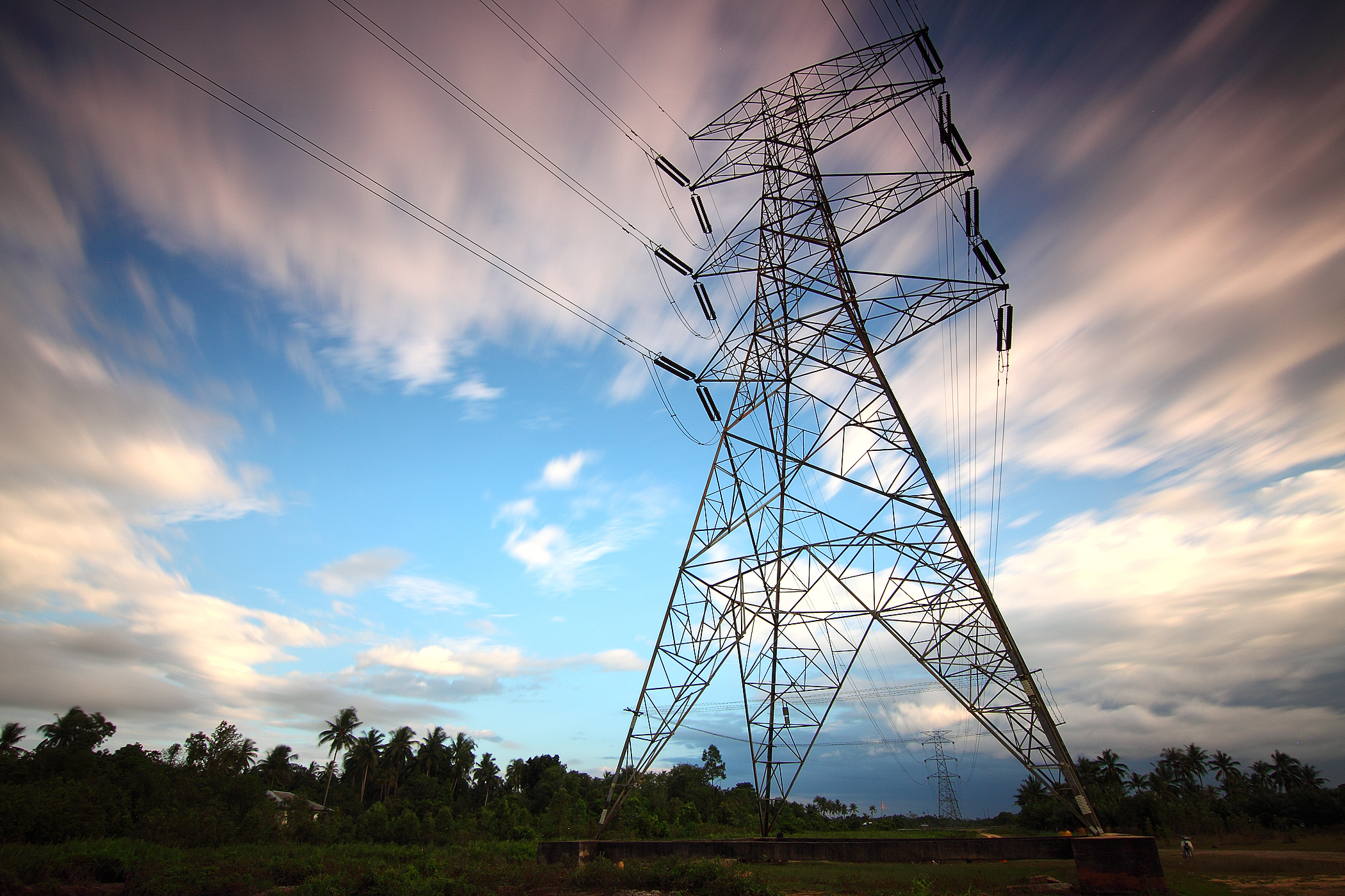
Power
GIS technology can be used to understand and track the status of fixed assets such as poles, circuits, power lines and transformers to facilitate preventive maintenance. It can also be used to manage power distribution, and track vegetation in specific areas to prevent power supply disruptions.
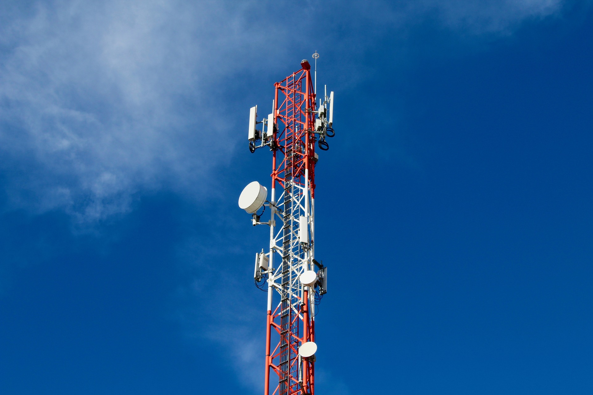
Telecom
Mapping land cover data is a critical use of GIS in wireless network design. The telecom industry also uses GIS for Network Data Capture with asset data and physical network inventory, Pole Loading Analysis and Modeling and more.
The Libertycom GIS Suite
Capture and integrate data with applications like OpenStreetView and Google Maps to get information from specific geographies.